A critical weather update has just emerged regarding the King Fire, currently 40% contained, as Southern California braces for a weekend of cooler temperatures and potential hazards. With smoky conditions persisting, residents are urged to remain vigilant as winds are expected to pick up, reaching speeds of 15-20 mph, with gusts possibly hitting 30 mph.
Visibility issues continue to plague the region, especially near coastal areas, where low clouds and fog have created hazardous driving conditions. The forecast indicates a transition from the 60s to the 70s as the day progresses, with temperatures in Southern California remaining below average—hovering in the 70s along the coast and into the 80s for valley communities.
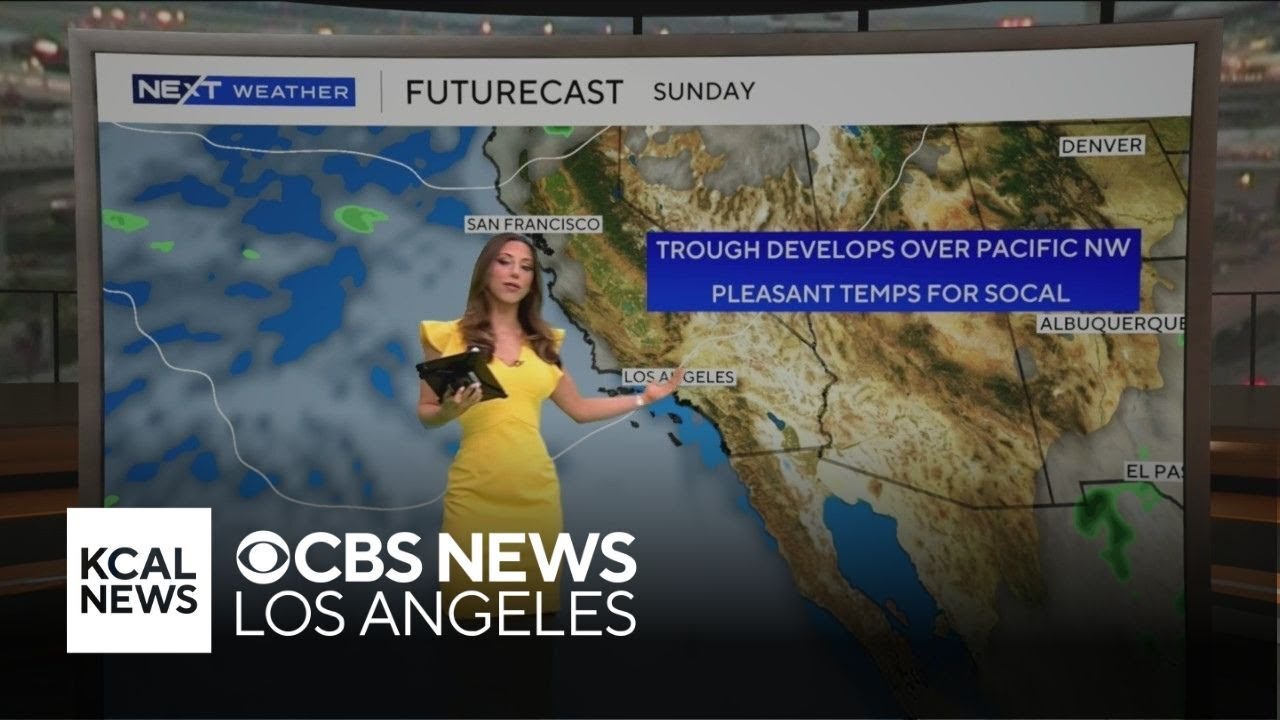
This reprieve from the heat is attributed to a trough of low pressure over the Pacific Northwest, which is currently providing a much-needed break from the sweltering temperatures. However, forecasters warn that this relief is temporary. As we move into the middle of next week, a significant warm-up is anticipated, with temperatures expected to soar into the high 80s and even triple digits by midweek.
Residents are reminded to enjoy the cooler conditions while they last, as the forecast hints at a return of monsoon moisture, which could bring thunderstorms to desert and mountain areas. The weather window remains open, but the situation is fluid. Stay tuned for more updates as conditions evolve, and prioritize safety amidst the changing weather patterns.